
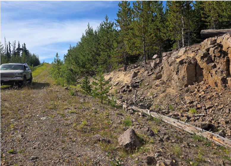
Tets Property - British Columbia
Document Dossier Summary
EXECUTIVE CONTENT OVERVIEW
Select any section below to jump directly to detailed findings:
Property Overview & Regional Setting
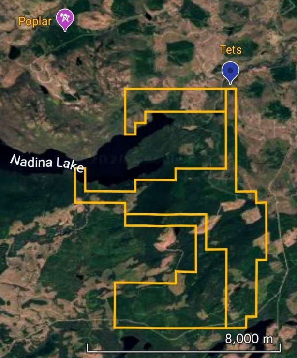
Satellite overview of the Tets Property relative to the Huckleberry, Berg, and Poplar deposits[cite: 40].
The Tets Property is an early-stage copper-gold-silver-molybdenum exploration project situated within the Tahtsa porphyry district of west-central British Columbia. Comprising 19 mineral claims covering approximately 3,527.51 hectares, the property is centred at approximately 53.846386°N, 126.956948°W, roughly 80 km southeast of Houston, British Columbia. The project is strategically positioned in a broader district containing several established porphyry systems, located approximately 21 km from Huckleberry Mine, 30 km from the Berg deposit, and 5.4 km from the Poplar/Thira area. Access is supported by Highway 16 and a network of forestry and resource roads.
Project Highlights
- Extensive 3,527.51-hectare land package in an established porphyry district with room for expansion.
- Historical high-grade surface sampling returning values up to 15.4% Cu and 438.86 g/t Ag.
- Historical drilling beneath mineralized trenches intercepted up to 0.77% Cu and 35.3 g/t Ag over 1.52 metres.
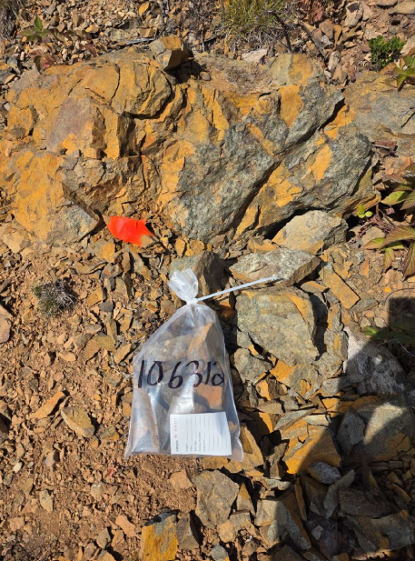
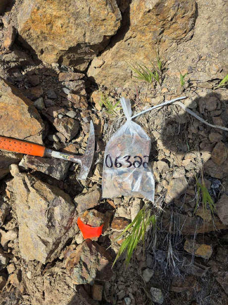
- Confirmed surface mineralization from the 2025 field program, with highlights including 1.306% Cu, 0.400 g/t Au, 4.28 g/t Ag, and 73.3 ppm Mo.
- Large historical soil anomaly (~600 m x 1,300 m) featuring values up to 350 ppm Cu, 2,200 ppm Zn, 290 ppm Pb, and 4.7 ppm Ag.
- Complex magnetic geophysical signature coinciding with mapped geological contacts and structural fault intersections.
Geological & Structural Architecture
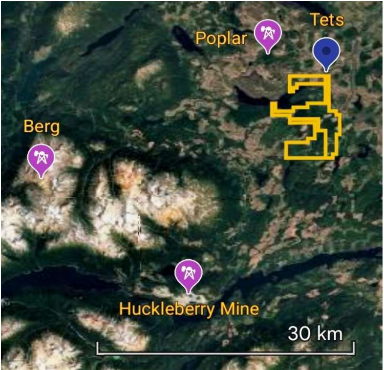
Bedrock geology and structural fault map of the Tets Property.
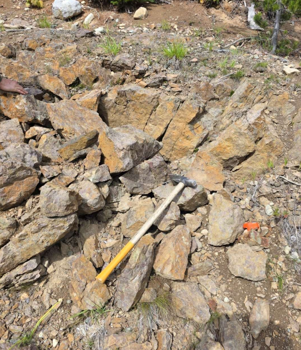
The property is primarily underlain by Middle Jurassic Hazelton Group volcanic and sedimentary rocks, specifically units assigned to the Smithers Formation. Local lithologies include volcanic flows, tuffs, volcanic breccias, and potential hypabyssal intrusive bodies (altered gabbroic plug and a diabase body). Alteration is locally intense, featuring chlorite, montmorillonite, pumpellyite, and calcite. Several major faults cross or occur adjacent to the property. The intersections between northeast-southwest and northwest-southeast structural faults are critical exploration targets, as they likely acted as pathways for intrusive emplacement and hydrothermal fluid circulation.
Known Mineralization
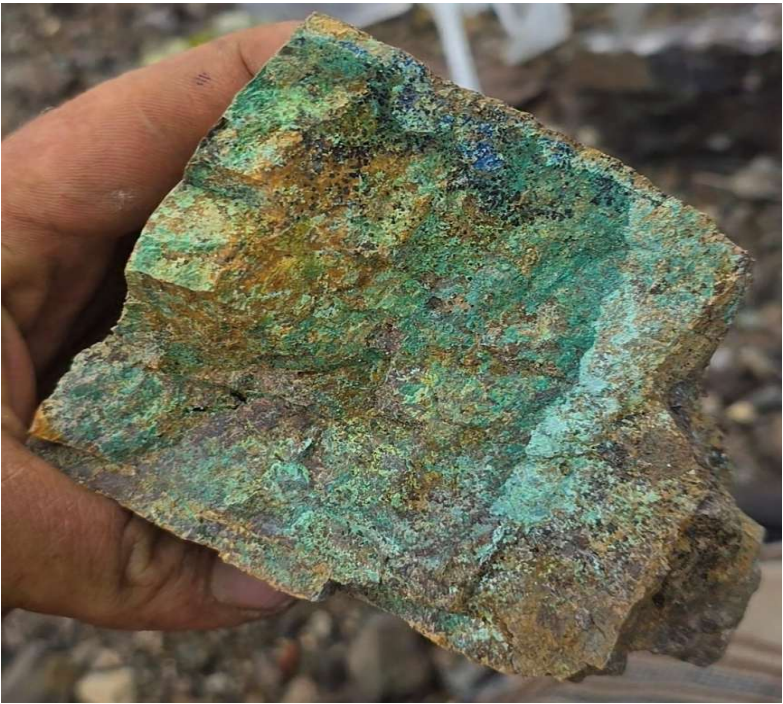
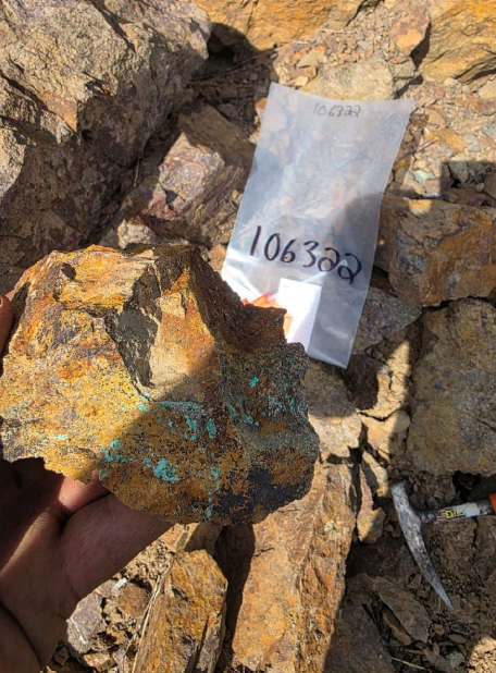
High-grade copper-bearing rock sample from the Tets Property.
The Tets occurrence hosts a broad polymetallic mineral assemblage that includes chalcopyrite, bornite, chalcocite, native copper, sphalerite, galena, and pyrite. This mineralization has been reported within breccia zones, along fractures, and as open-space fillings. The presence of extensive surface copper oxide staining and massive sulphide veining confirms an active and robust hydrothermal system.
Recent 2025 Exploration Assays
| Sample ID | Cu (%) | Au (g/t) | Ag (g/t) | Mo (ppm) |
|---|---|---|---|---|
| 89026 | 1.306% | 0.400 | 4.28 | 73.3 |
| 89029 | 0.69% | 0.267 | — | 15.4 |
| 89033 | 0.5605% | 0.268 | — | 50.5 |
| 89034 | 0.37% | 0.164 | — | 28.1 |
Geophysical Targeting
Airborne magnetic data outlines a complex environment across the property. A prominent magnetic-high domain occurs northwest of the principal claim block, alongside a sharp magnetic gradient near tenures 1139030, 1139024, and 1139025. A relatively compact magnetic anomaly is located near tenure 1139025, and an elongate north-northeast to south-southwest magnetic feature extends through the central and southeastern portions of the property. The eastern portion contains closely spaced magnetic highs and lows that broadly coincide with mapped geological contacts and faults, presenting immediate targets for field verification.
Commercial Option Terms
The Tets Property is available for outright purchase or through a staged option agreement. The vendors are seeking a partner capable of advancing the project through systematic exploration and drill testing. A 100% acquisition is possible via negotiated cash and/or share payments, subject to a retained Net Smelter Return (NSR) royalty. Alternatively, a company may earn up to 100% ownership through staged cash payments, company shares, and exploration expenditures. The vendors propose a 2% NSR royalty with all final royalty, buyback provisions, and purchase price terms subject to a definitive agreement.
Property Images
test
- test b1
- test b2
- test b3
Quick Facts
- PropertyTets
- DistrictTahtsa Porphyry District
- Area3,527.51 Hectares (19 claims)
- Primary CommoditiesCu, Au, Ag, Mo
- Deposit TypePorphyry Cu-Mo / Polymetallic Breccia
- StatusEarly-Stage Exploration
- Location~80 km SE of Houston, BC