
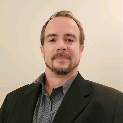
Chris
Adamson, R.I.
GIS and land information specialist with extensive experience in property research, mineral tenure, mapping, land analysis, and resource sector projects throughout British Columbia, Canada, and internationally.
With a background in geography, mapping, and spatial analysis, Chris works at the intersection of land ownership, property valuation, mineral exploration, and geographic information systems (GIS). His work combines technical mapping, historical research, survey interpretation, and data analysis to help clients make informed decisions regarding land, property, and resource opportunities.
Chris has supported a wide range of projects including property due diligence, title research, assessment appeals, mineral claim investigations, exploration targeting, boundary analysis, and parcel correction initiatives. His approach focuses on combining accurate data, practical field knowledge, and modern GIS technologies to solve complex land-related challenges.
Over the years, Chris has worked with property owners, prospectors, exploration companies, investors, and resource industry professionals, providing mapping, research, and analytical services tailored to each project's unique requirements.
INSURANCE_&_LIABILITY_COVERAGE
Adamson Geomatics Ltd maintains comprehensive commercial and professional liability insurance underwritten 100% by Lloyd's of London Underwriters via CFC Underwriting Limited and Zensurance. All consulting, land acquisition, GIS mapping, and field operations carry robust worldwide protection.
Professional Liability (E&O)
Per claim & in the aggregate
Full civil liability and errors & omissions protection including contract breach, sub-contractor vicarious liability, and worldwide legal defense.
Commercial General Liability (CGL)
Per occurrence & in the aggregate
Comprehensive coverage for third-party bodily injury, property damage, completed operations, and personal/advertising liability.
Pollution & Environmental Liability
Sudden, accidental & gradual coverage
Full pollution liability coverage arising from professional geospatial, mineral tenure, and land consultation advice.
Non-Owned & Hired Automobile (SPF No. 6)
Third-party liability + hired auto damage
Legal protection for vehicles operated under contract or hired during field operations across Canada and the USA.
Errors & Omissions (E&O)
Full civil liability cover defending claims brought anywhere in the world.
Contractual Liability
Unambiguous protection for voluntary contracts and service agreements.
Sub-Contractor Vicarious Liability
Coverage extends to field partners and specialized sub-contractors.
Intellectual Property Rights Infringement
Legal costs, damages, and settlements for copyright/trademark claims.
Regulatory Costs & Legal Fines
Coverage for statutory compliance inquiries, formal hearings, and defense.
Loss Mitigation & Court Costs
Direct loss mitigation expenses and expert witness / court attendance allowances.
CFC & Lloyd's Underwriters Policy Quote & Terms
Full terms, declarations, and coverage limits for Adamson Geomatics Ltd underwritten by 100% Lloyd's of London Underwriters.
Zensurance Confirmation of Active Coverage
Payment and policy activation certificate issued via Zensurance (Quote ID: 25442617).
CERTIFICATIONS_&_INDUSTRY_RECOGNITION
Demonstrated mastery in geographic information systems, spatial database design, and international recognition at the industry's leading geospatial venues.
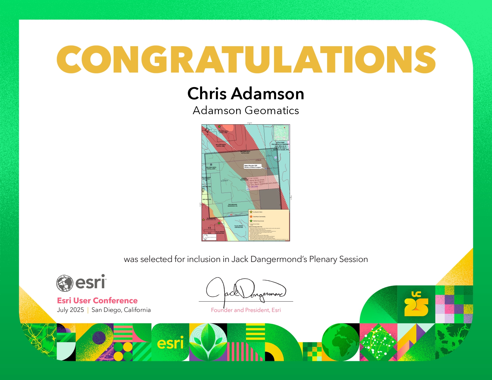
Esri Technical Certification
Industry-standard certification in advanced geospatial analysis, cartographic design, and enterprise GIS implementations.
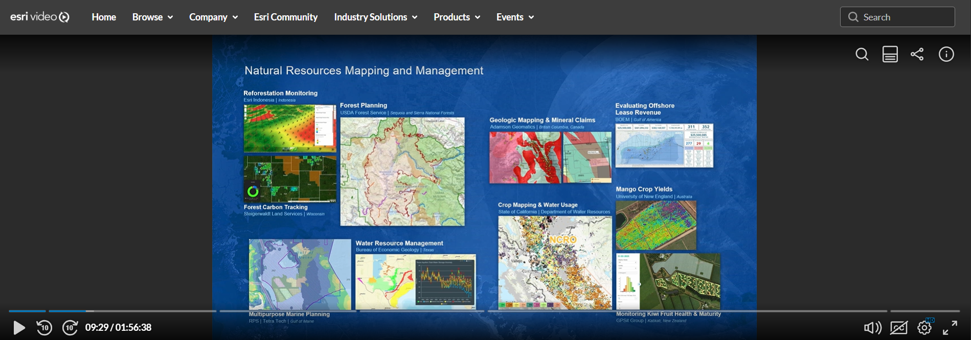
2025 Esri User Conference Plenary Presentation
Geospatial mapping and analytical work selected and spotlighted by Esri President Jack Dangermond during the global plenary presentation.
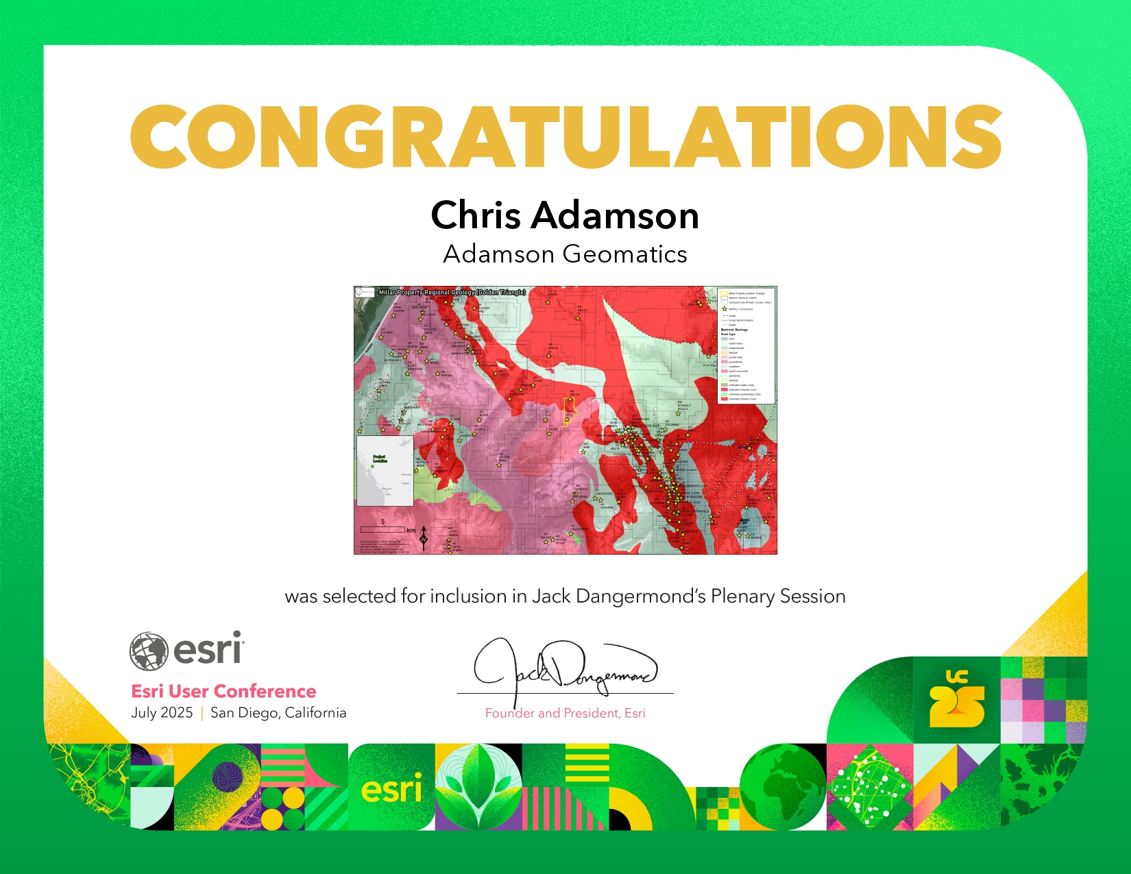
Esri Professional Qualification
Specialized credentials recognizing expertise in geodatabase management, terrain modelling, and spatial data science.
EDUCATION_&_BACKGROUND
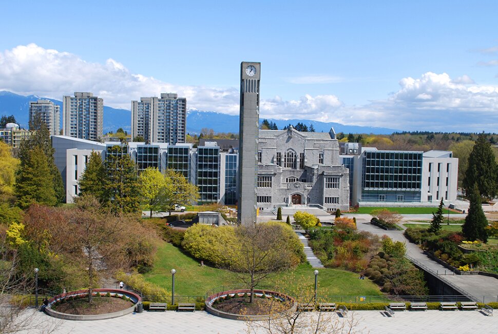
University of British Columbia (UBC)
UBC degree Geography (GIS) 2006

Real Estate Institute of British Columbia (RIBC)
Professional Studies
AREAS_OF_EXPERTISE
PROFESSIONAL_APPROACH
Every project begins with the same objective: delivering reliable information that clients can confidently use to make decisions. Whether supporting a property owner with a boundary issue, assisting with a tax appeal, researching land ownership, or helping evaluate mineral opportunities, the focus remains on accuracy, transparency, and practical results.
By combining technical GIS expertise with a strong understanding of land records, mapping systems, and property research, Chris provides solutions that bridge the gap between complex spatial data and real-world decision making.