
Retour aux projets
British Columbia, Canada
Remote Sensing - Spectral Analysis / LiDAR (Sample Cases)
DOSSIER :Overview — Remote Sensing, Spectral Analysis & LiDAR
5
Résumé du dossier
APERÇU EXÉCUTIF DU CONTENU
Sélectionnez une section ci-dessous pour accéder directement aux détails :
Overview — Remote Sensing, Spectral Analysis & LiDAR
Sample cases illustrating Adamson Geomatics' capabilities in satellite-based spectral analysis and airborne LiDAR terrain modelling across mineral occurrences in British Columbia.
Sample Deliverables & Technical Breakdown
- NDVI Derived from Sentinel Imagery (BC MINFILE 082JSW018): Normalized Difference Vegetation Index where greener areas indicate healthy vegetation density.
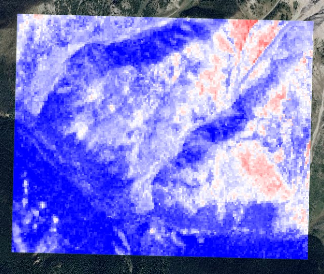
- Iron Oxide Spectral Analysis (B4/B2) Derived from Sentinel Imagery (BC MINFILE 082JSW018): Band ratio B4/B2 highlighting hydrothermal alteration and gossanous zones where red areas show strongest iron oxide response.
- Digital Terrain Model (DTM) Derived from LiDAR (BC MINFILE 093F 037): High-resolution bare-earth terrain visualization revealing underlying structural lineaments and topography.
NDVI Derived from Sentinel Imagery (MINFILE 082JSW018)
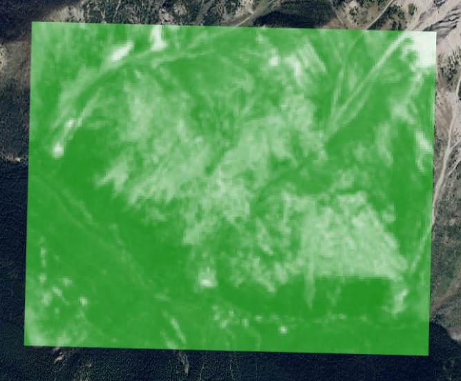
Screenshot of NDVI derived from Sentinel Imagery (more green means healthy vegetation). Location: BC MINFILE 082JSW018.
Iron Oxide Spectral Analysis (B4/B2) — Sentinel Imagery (MINFILE 082JSW018)
Screenshot of Iron Oxide spectral analysis (B4/B2) derived from Sentinel Imagery (red areas are where iron oxide is showing up strongest). Location: BC MINFILE 082JSW018.
Digital Terrain Model (DTM) Derived from LiDAR (MINFILE 093F 037)
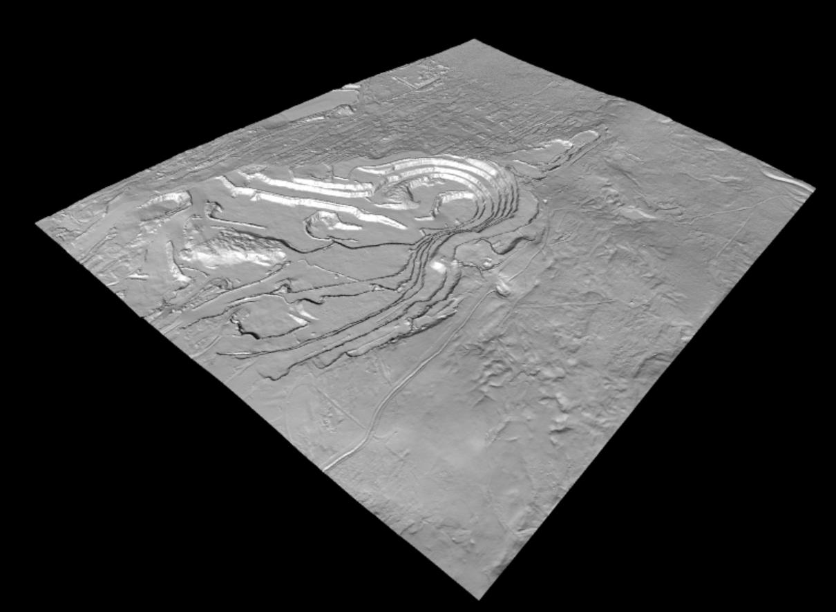
DTM derived from LiDAR for bare-earth topographic and structural visualization. Location: BC MINFILE 093F 037.
Points clés
- CategoryRemote Sensing — Spectral Analysis / LiDAR
- Satellite SensorSentinel Imagery (NDVI & B4/B2)
- Spectral LocationBC MINFILE 082JSW018
- Terrain ModelDigital Terrain Model (DTM) from LiDAR
- LiDAR LocationBC MINFILE 093F 037
Informations du projet
AuteurAdamson Geomatics
Mots-clés
Remote SensingSpectral AnalysisLiDARSentinel ImageryNDVIIron OxideDTMGIS